

Using Topo Maps To Find Bass Hot Spots Before You Launch
Using topographic maps before launching allows anglers to identify bass hot spots by revealing underwater structures such as drop-offs, humps, and channels that attract bass. Understanding contour lines helps pinpoint potential feeding and holding areas, while specific features like points and flats indicate high-probacity zones. This pre-launch planning dramatically increases fishing efficiency and success by reducing time spent searching on the water.
Want to catch more bass without wasting time on the water? Learning how to read topographic maps can give you a serious edge. These maps show you the underwater terrain – things like drop-offs, humps, and channels that bass love to hang around.
By studying them before you even get your boat wet, you can pinpoint promising areas. This means more time fishing and less time searching, leading to a much more successful and enjoyable day on the water. It’s all about smart planning for better results, and Using Topo Maps to Find Bass Hot Spots Before You Launch is a skill that pays off big.
Key Takeaways
- Topo maps reveal underwater features that attract bass.
- Studying maps before fishing saves time and increases success.
- Understanding contour lines helps identify potential bass habitats.
- Key features to look for include drop-offs, points, and flats.
- Using topo maps is a proactive strategy for better fishing trips.
Understanding What Topo Maps Show
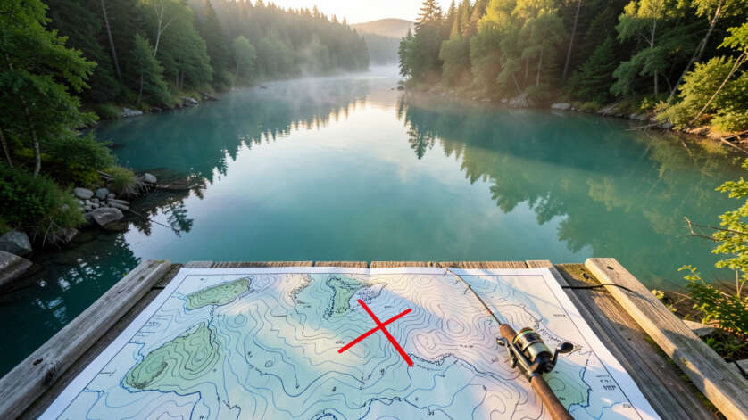
Topographic maps, often called topo maps, are like treasure maps for anglers. They don’t just show you where the water is; they show you the shape of the bottom. This is crucial for bass fishing.
Bass are ambush predators and often position themselves near structure or changes in depth. Topo maps use contour lines to represent these changes. The closer the lines are, the steeper the drop-off.
Wider spaced lines mean a more gradual slope. Understanding these lines is the first step to Using Topo Maps to Find Bass Hot Spots Before You Launch.
An underwater point extending into deeper water acts as an underwater highway for bass; they often position at the end or along the sides to intercept forage moving along the structure.
Look for areas where contour lines are tightly packed, as these steep drop-offs often create ambush points where bass wait for baitfish traveling along the edge.
These maps highlight features you can’t see from the surface. Things like submerged humps, creek channels, saddles between points, and flats are all visible. Bass use these areas for feeding, resting, and hiding.
A sudden drop-off can be a highway for baitfish, with bass waiting at the bottom. A shallow flat adjacent to deep water offers both feeding opportunities and escape routes. Without a topo map, finding these spots is largely guesswork.
With one, you can make educated guesses that significantly increase your chances of finding fish.
Why Bass Love Specific Underwater Features
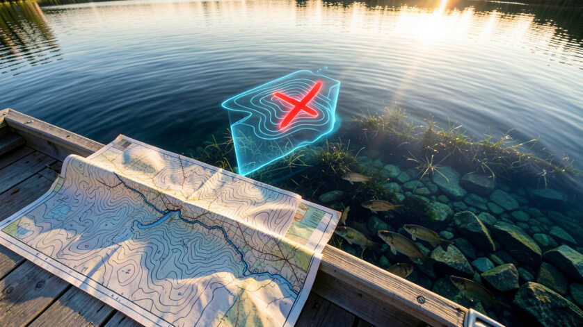
Bass are drawn to certain underwater structures for several reasons. Primarily, these features provide cover and ambush points. Bass often wait for prey to come to them.
Steep drop-offs, for instance, create a vertical feeding zone. Baitfish may travel along these ledges, and bass will patrol the deeper side, ready to strike. Submerged humps or islands can also be magnets.
Mastering contour line reading transforms a flat map into a three-dimensional view of the lake bottom, revealing the hidden highways and ambush points where bass live.
They offer a change in bottom composition and can attract baitfish, making them prime bass territory.
Points that jut out into deeper water are also excellent bass locations. They act as natural funnels for baitfish. Bass can hang around the end of the point or along its sides.
Similarly, underwater channels, especially those leading into shallower bays or coves, are important. Bass will use these channels to move between deep and shallow water, particularly during different times of day or seasons. Recognizing these patterns is key to successful bass fishing, and it all starts with Using Topo Maps to Find Bass Hot Spots Before You Launch.
How to Read Contour Lines for Fishing Success
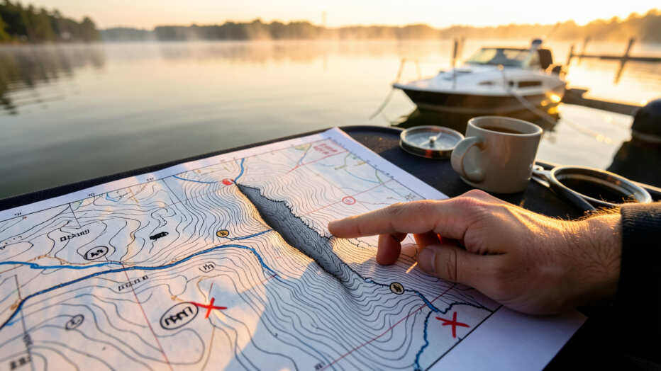
Contour lines on a topo map connect points of equal elevation. The difference in elevation between adjacent lines is called the contour interval. A common interval might be 5 or 10 feet.
If you see contour lines very close together, it signifies a steep bank or drop-off. This is often a prime area for bass. They can move quickly from deep water to shallow water to feed.
Use digital mapping apps that allow satellite overlay; this helps you spot submerged timber or rock piles that continue from the shoreline, adding another layer of detail to your pre-fishing analysis.
When contour lines are far apart, it indicates a gradual slope or a flat area. Bass can also be found in these areas, especially if there’s bait present. Look for areas where contour lines bunch up near a submerged structure like a hump or a point.
This suggests a significant change in depth around that feature, making it a likely bass hangout. The ability to interpret these lines is a fundamental skill for anyone serious about Using Topo Maps to Find Bass Hot Spots Before You Launch.
Identifying Key Structures on Topo Maps
When you’re looking at a topo map, several features should catch your eye. These are the places where bass are most likely to be concentrated.
- Drop-offs and Ledges: Look for areas where contour lines are tightly packed, indicating a sudden change in depth. Bass often patrol the deeper edge of these drop-offs.
- Points: These are areas of land that extend into the water. Bass will hang around the tips and sides of points, especially those with a steep drop nearby.
- Humps and Underwater Islands: These are raised areas on the lakebed. They can hold baitfish and provide excellent ambush points for bass. They often appear as closed contour lines.
- Channels: Submerged river or creek channels are like highways for bass. They offer a defined path and often have deeper water.
- Flats: Areas of relatively shallow water, especially those adjacent to deeper water, can attract bass when baitfish are present.
- Saddles and Gaps: These are low points between two higher areas. Bass may use them as travel routes or ambush spots.
Choosing the Right Topo Map Tools
There are several ways to access and use topographic maps for fishing. The best tool for you will depend on your budget and how you prefer to fish.
Digital Mapping Apps and Devices
Modern technology offers fantastic options. Many GPS devices and smartphone apps come with built-in or downloadable topographic maps. These are incredibly convenient because you can use them right on the water.
You can zoom in, pan around, and even mark waypoints for spots you want to investigate further. Apps like Navionics, Aqua Map, or Fishbrain often provide detailed bathymetric (underwater depth) data that is essentially a topo map.
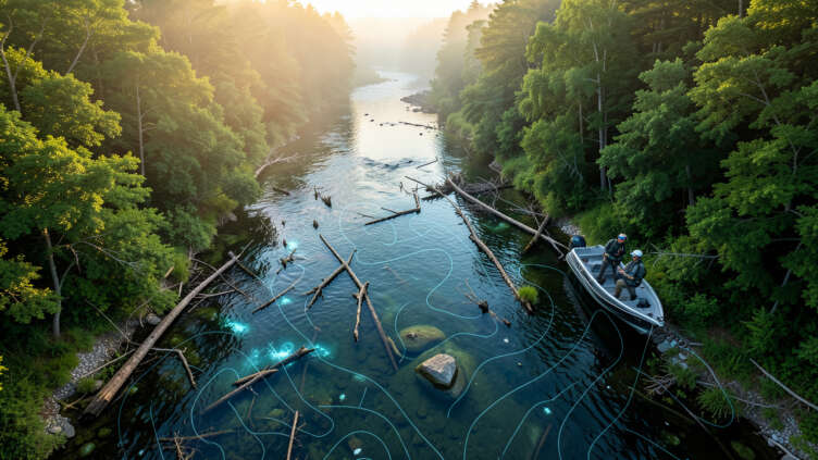
These digital tools are invaluable for Using Topo Maps to Find Bass Hot Spots Before You Launch. You can study the lakebed from your couch or while you’re driving to your fishing destination. Being able to overlay these maps with satellite imagery can also help you identify shoreline features that might extend underwater, like submerged timber or rock piles.
Relying solely on a digital map can leave you stranded if your device battery dies or you lose signal; always carry a paper topo map as a backup to ensure you can still navigate and follow your pre-planned route.
This combination of data gives you a comprehensive view of the fishing environment.
Paper Maps and Their Advantages
Don’t discount traditional paper maps entirely. They have their own set of advantages. Paper maps are often very detailed and can be easier to view at a glance than a small phone screen.
They don’t require batteries and are unaffected by signal loss or electronic malfunctions. Many anglers still prefer to have a good quality paper topo map of their favorite lakes as a backup and for initial planning.
When you’re planning a trip, spreading out a large paper map can help you see the bigger picture. You can trace routes and identify multiple potential fishing locations across the entire body of water. This can be especially useful for exploring new lakes where you don’t have the same familiarity as you do with digital charts.
It’s a classic method for Using Topo Maps to Find Bass Hot Spots Before You Launch.
Comparing Digital vs. Paper Topo Maps for Bass Fishing
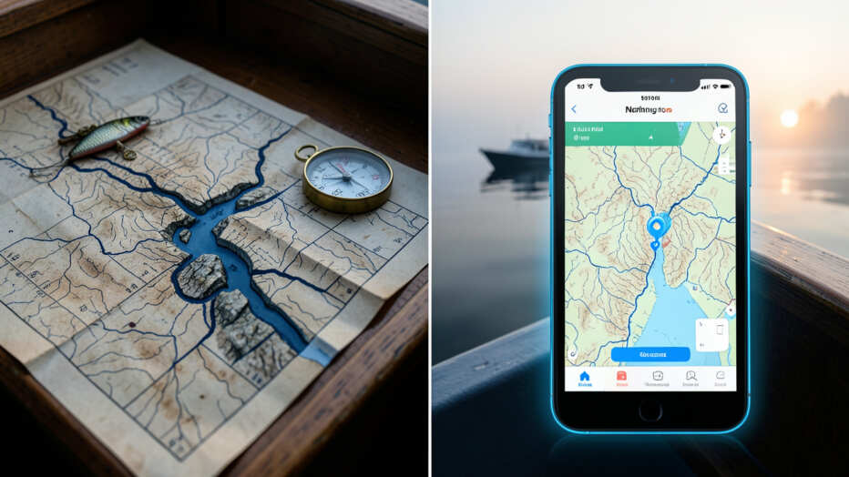
Both digital and paper topo maps have their strengths. Choosing the right one, or using a combination of both, can significantly improve your fishing strategy.
Marking multiple waypoints on your map before launching creates a logical fishing plan with backup spots; if the first location doesn't produce, you have a ready alternative without wasting time scanning the water blindly.
For many anglers, a hybrid approach works best. Use digital tools for on-the-water navigation and detailed scouting. Keep a paper map handy for initial trip planning and as a reliable backup.
Mastering Using Topo Maps to Find Bass Hot Spots Before You Launch means utilizing the best tools available.
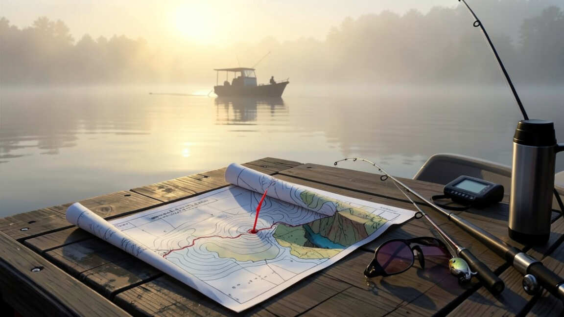
Putting Topo Maps into Practice: The Pre-Launch Routine
The real power of topo maps comes from using them consistently. Make it a habit to study the maps before every fishing trip, even to familiar waters. You might discover a new feature or a different way bass are using an area.
First, identify the body of water you’ll be fishing. Load the relevant map into your app or unfold your paper chart. Get a general overview of the lake’s size and shape.
Look for major basins, inlets, and outlets.
Second, focus on the contour lines. Look for areas with significant depth changes. These are your prime candidates for bass holding structure.
Pay attention to how the depth changes around points, humps, and along the main channel.
A topo map shows where bass _could_ be; only by factoring in real-time conditions like water clarity and wind can you predict where they _will_ be.
Next, identify specific features that are known bass attractors. This includes points, submerged humps, creek channels, and any visible submerged structure if your map provides that detail. If you have access to sonar logs or fishing reports, cross-reference them with your topo map.
Then, consider the season and time of day. Bass behavior changes. In spring, they might be on shallower flats for spawning.
In summer, they may move to deeper, cooler water. In fall, they might follow baitfish migrations along ledges. Your topo map helps you visualize where these areas are.
Finally, mark potential spots on your digital map or make notes on your paper map. These are your starting points for the day. Even if you don’t catch fish immediately, these marked areas give you a logical place to start and a plan B if your first spots are unproductive.
This systematic approach is the essence of Using Topo Maps to Find Bass Hot Spots Before You Launch.
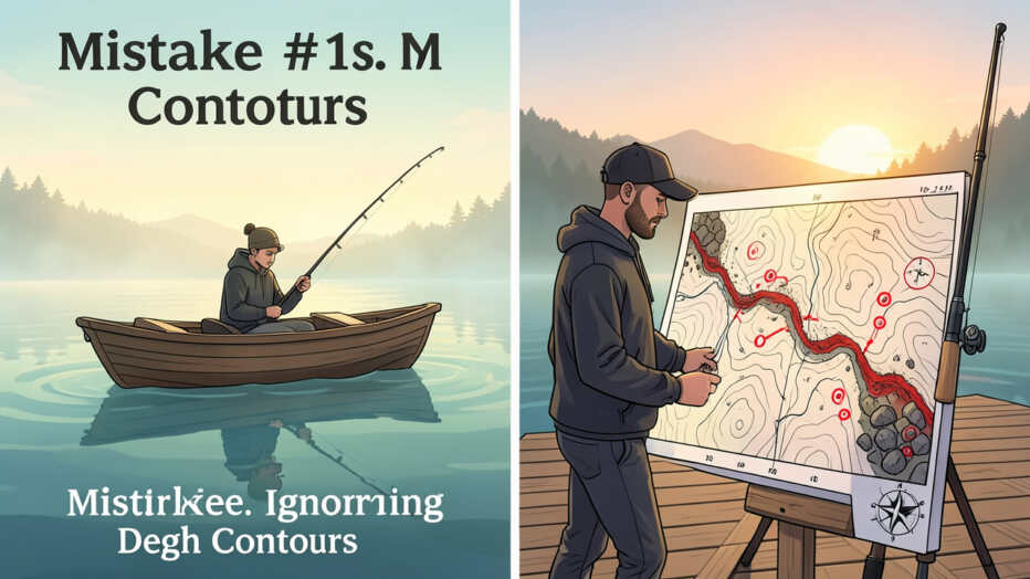
Common Mistakes to Avoid When Using Topo Maps
While topo maps are powerful tools, anglers can make mistakes that limit their effectiveness. Being aware of these pitfalls can help you fish smarter.
Over-reliance on Maps Alone
A topo map is a guide, not a guarantee. It shows you the potential, but you still need to fish the spot. Sometimes bass are not where you expect them to be.
Conditions change, and fish move. Don’t get discouraged if a marked spot is empty. Use it as a learning opportunity and move on to your next planned location.
Ignoring Other Factors
Factors like water temperature, clarity, wind, and the presence of baitfish are critical. A perfectly marked spot on a topo map might be unproductive if the water is too warm, too cold, or if there’s no food source. Always consider these environmental factors in conjunction with the underwater terrain.
This holistic view is vital for successful Using Topo Maps to Find Bass Hot Spots Before You Launch.
Not Understanding the Contour Interval
If you don’t know what the contour interval is, you can misinterpret the steepness of the bottom. A map with a 2-foot interval will show much finer detail than one with a 20-foot interval. Always check the map’s legend to understand the contour interval.
This will help you accurately gauge depth changes.
Failing to Update Maps
Lakebeds can change over time due to erosion, sedimentation, or human activity like dredging. If you’re using old paper maps or outdated digital charts, the information might not be entirely accurate. Try to use the most current maps available for your fishing waters.
Frequently Asked Questions
What is the most important feature to look for on a topo map for bass fishing?
The most important features are changes in depth, especially steep drop-offs and ledges, as bass often use these for ambushing prey.
Can I use my smartphone for Using Topo Maps to Find Bass Hot Spots Before You Launch?
Yes, many smartphone apps like Navionics or Aqua Map offer detailed topographic maps that are excellent for pre-fishing planning.
How do contour lines help in finding bass?
Contour lines show changes in depth. Tightly packed lines indicate steep drops where bass can position themselves. Widely spaced lines show gradual slopes or flats.
Are paper maps still useful for bass fishing?
Absolutely. Paper maps provide a great overview, are always accessible, and don’t require batteries, making them a reliable tool for planning.
What should I do if a spot marked on my topo map is empty of fish?
Don’t worry. Fish move. Use it as a chance to observe conditions, and then move to your next planned location.
The map guides you to likely areas, not guaranteed catches.
Is it worth spending time studying topo maps if I already know my fishing spot well?
Yes, even familiar spots can hold surprises. Studying topo maps can reveal new details or help you understand why bass might be in a certain area at a different time of year.
Final Thoughts
Mastering Using Topo Maps to Find Bass Hot Spots Before You Launch transforms your fishing trips. By understanding underwater terrain, you can plan smarter, fish more effectively, and catch more bass. Always use the best map tools available to you and make map study a regular part of your fishing preparation.