

Bass On Main Lake Points: Reading Maps Like A Pro Angler
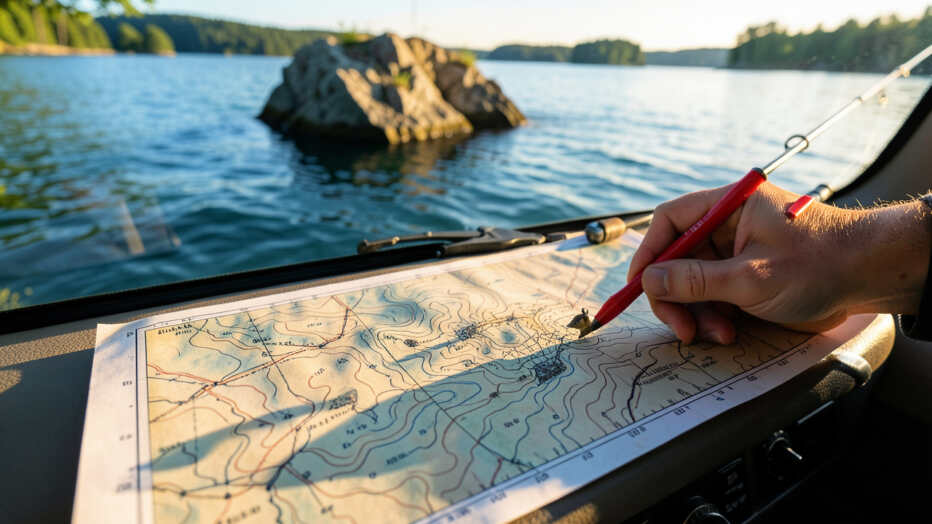
Reading lake maps to identify main lake points and their underwater contours is a fundamental skill for locating bass consistently. Contour lines reveal the depth changes and structural features like points, humps, and drop-offs that hold fish, allowing anglers to target specific high-percentage areas without wasting time. Mastering map interpretation combined with depth finder use enables a precise approach to fishing these structures throughout the season.
Finding the best spots for bass fishing often comes down to knowing where to look. Lake maps are your secret weapon, showing you the underwater terrain where big fish love to hide. Learning to read them well can make a huge difference in your catch.
It’s not just about knowing the lake; it’s about understanding how the fish use its features. This skill helps you pinpoint productive areas, saving you time and frustration on the water. Get ready to see your fishing success soar with some tips on Bass on Main Lake Points: Reading Maps Like a Pro Angler.
Key Takeaways
- Understand how contour lines on a map reveal underwater structures.
- Identify key fishing spots like points, drop-offs, and humps.
- Learn to use depth finders in conjunction with lake maps.
- Recognize how seasonal changes affect fish location based on map features.
- Develop a strategy for approaching and fishing specific map-identified spots.
Unlock Bass Hotspots with Map Contours
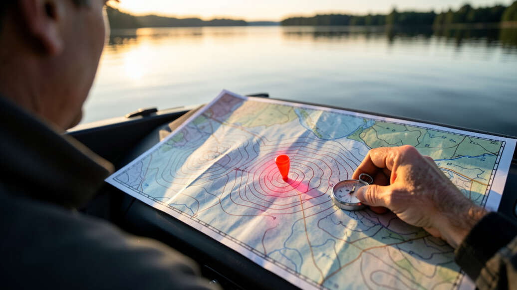
Lake maps are more than just pretty pictures of water. They are detailed blueprints of the underwater world. The most important feature on a map for anglers is the contour lines.
These lines connect points of equal depth. Think of them like the elevation lines on a hiking map, but for underwater. When contour lines are close together, it means the depth changes quickly.
Look for closely spaced contour lines on your map to identify steep drop-offs, which are prime bass ambush zones.
This is called a steep drop-off. Steep drop-offs are prime locations for bass. They offer quick access to deep water for safety and cooler temperatures, while also being close to shallow feeding areas.
When contour lines are spread far apart, the bottom is shallow and slopes gently. These gradual slopes can also hold bass, especially in warmer months when they move to feed. The key is to learn to visualize the underwater landscape from these lines.
A pro angler can look at a map and instantly see potential fish-holding structures. They know that bends in creek channels, the edges of flats, and areas where the bottom composition changes are all marked by contour lines.
Finding Structure: Points, Humps, and Drop-offs
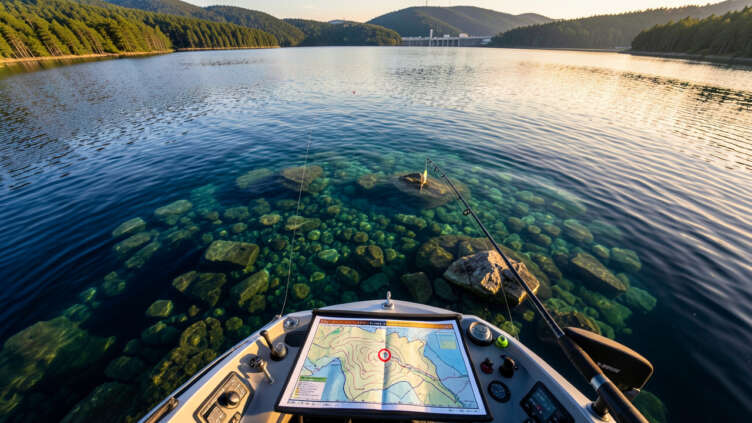
The most productive areas for bass are usually associated with changes in the underwater environment. These are the structures that attract baitfish, and where bass position themselves to ambush their next meal. Learning to spot these features on a map is fundamental to successful Bass on Main Lake Points: Reading Maps Like a Pro Angler.
Fishing Lake Points
Lake points are areas of land that jut out into the water. On a map, they look like fingers extending from the shoreline. Points are excellent bass magnets because they offer a variety of depths and cover.
Bass can hang out in the deeper water off the end of the point, or cruise the shallower edges looking for food. Look for points that transition from shallow to deep water quickly. These are often the most reliable spots.
When you find a point on a map, pay attention to its shape and the surrounding depths. A long, tapering point might attract bass differently than a short, steep one. Consider the wind direction too.
Points that stick out into the prevailing wind often have baitfish pushed up against them, making them feeding stations for bass.
Identifying Humps and Underwater Islands
Humps are underwater hills or mounds. On a map, they show up as a series of closed contour lines, often surrounded by deeper water. These isolated structures are like underwater islands.
Points act as natural highways for bass, providing easy access to both shallow feeding areas and deep water safety.
Bass love them because they provide a place to relate to, similar to points. They also attract baitfish, creating feeding opportunities. Humps can be found in the middle of a lake or near shorelines.
When you locate a hump on a map, it’s worth investigating. Think about how bass might use it. They might suspend around the sides, or patrol the top.
The depth of the hump in relation to the surrounding water is crucial. A hump that rises from 30 feet to 10 feet of water is often a great bass hangout.
Exploiting Drop-offs and Breaklines
A drop-off is a sudden change in depth. A breakline is the edge where shallow water meets deep water. These are among the most consistent bass attractors.
Bass use breaklines as highways to move between shallow feeding areas and deeper, cooler water. They also use them for ambush points.
On a map, a breakline is where contour lines are packed closely together. You might see a contour line showing 5 feet of depth right next to a contour line showing 20 feet of depth. This steep transition is a breakline.
Another type of breakline is where a shallow flat drops off into a creek channel. These transitions are critical for locating bass, especially during different times of the year. Reading these transitions is a core skill for Bass on Main Lake Points: Reading Maps Like a Pro Angler.
Beyond Contours: Reading Other Map Features
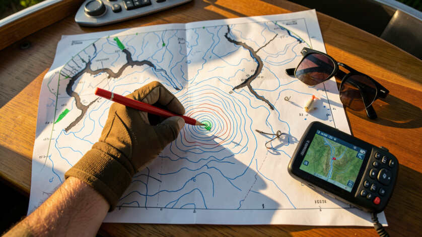
While contour lines are vital, other map features can also point you towards bass. Don’t overlook the details that can make a big difference in your fishing success. Understanding these elements adds another layer to your Bass on Main Lake Points: Reading Maps Like a Pro Angler strategy.
Understanding Lake Channels
Lake channels are the underwater pathways that rivers and streams carved out before the lake was formed. They often look like winding lines on a map, similar to roads. Channels are important because they provide deep water access and can act as travel routes for bass and their prey.
Bass will often school up along channel edges, especially during cooler months or when they are migrating.
Look for bends in the channel, intersections with other channels, or areas where the channel runs close to the shoreline. These spots create natural ambush points. A main lake channel or a large creek channel can be a significant feature holding a lot of fish.
Channels are the underwater highways for bass, guiding their movements and concentrating feeding activity.
When you see a channel on a map, imagine it as a bass highway.
Identifying Cover: Weeds, Rocks, and Timber
Maps don’t always show every single piece of cover, but they can indicate areas where it’s likely to be found. For example, shallow, protected coves might be good places for weed growth. Rocky areas are often marked with specific symbols.
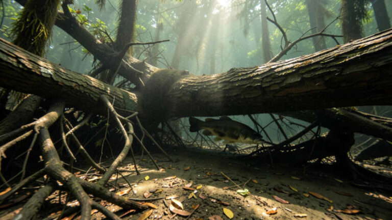
Timber, like submerged trees or brush piles, can be harder to spot but can also be inferred from certain map features.
If a map shows a large area of consistent shallow depth near a drop-off, it’s a good bet for vegetation. Rocky points or shorelines are often indicated. These types of cover provide hiding places for bass and attract baitfish.
When you’re fishing a spot identified on a map, always look for visible cover like lily pads, submerged logs, or rock piles.
Using Technology to Enhance Map Reading
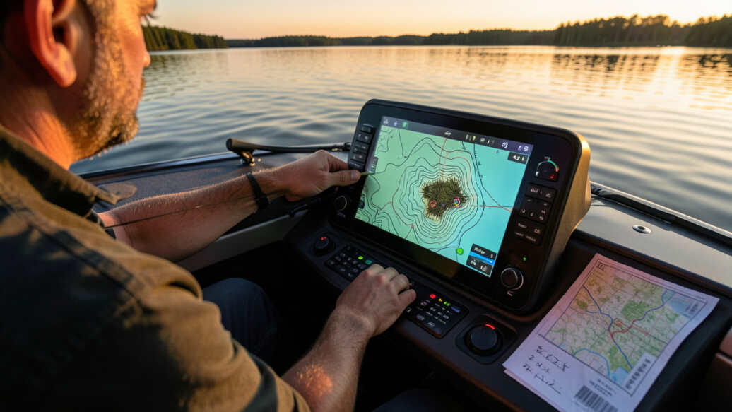
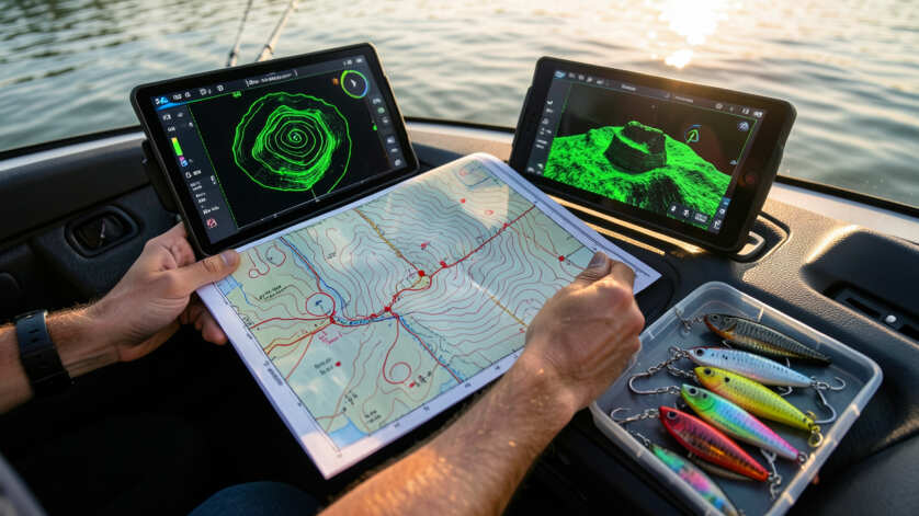
Modern fishing technology complements traditional map reading beautifully. Your depth finder or fish finder is your best friend when out on the water, confirming what your map suggests. Combining the two gives you a powerful advantage.
This is where true Bass on Main Lake Points: Reading Maps Like a Pro Angler comes into play.
Depth Finders and GPS Integration
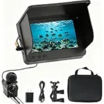
A good depth finder shows you the real-time depth of the water you’re in. Many also have GPS capabilities that can show your location on a digital lake map. This is incredibly useful.
You can mark specific spots on your GPS as you find them, or relate them back to features on your paper or digital map.
Use your fish finder's down imaging to verify underwater structures like submerged trees that maps may not show.
When you’re approaching a spot marked on your map, like a point or a hump, use your depth finder to confirm the structure. You can see the bottom contour change visually on your screen. Some advanced fish finders can even show you underwater objects like submerged trees or rocks.
This real-time data is invaluable for confirming your map interpretations.
Sonar and Structure Imaging
Modern sonar, especially down-imaging and side-imaging, provides incredibly detailed views of the underwater world. These technologies can reveal subtle changes in the bottom, like small rocks, ledges, or even schools of baitfish. When you’re targeting a specific area identified by a lake map, sonar can help you pinpoint the exact location of bass.
If your map shows a rocky point, down-imaging can show you the size and density of the rocks. Side-imaging can give you a wide view of the area, helping you see how the point transitions into deeper water. This detailed information allows you to make more precise casts and presentations.
It’s like having x-ray vision for the lakebed, making your Bass on Main Lake Points: Reading Maps Like a Pro Angler skills even sharper.
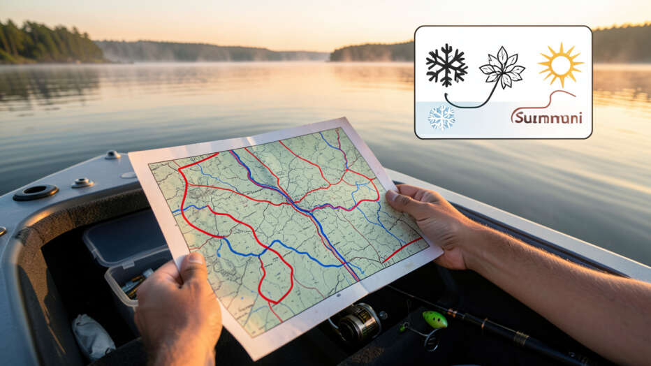
Seasonal Strategies Based on Map Features
Bass behavior changes throughout the year, and their location shifts accordingly. Your lake map can help you predict where they’ll be during different seasons. This seasonal understanding is a hallmark of an experienced angler.
It’s a crucial part of mastering Bass on Main Lake Points: Reading Maps Like a Pro Angler.
Spring: Shallowing Up
In the spring, as water temperatures rise, bass move into shallower areas to spawn and feed. Look for maps showing shallow flats, coves, and protected shorelines. Points that lead into these shallow areas are also excellent.
Creek channels that run into these spawning grounds are key travel routes.
Focus on areas with warmer water. Maps can help you identify these by looking at protected bays or areas with dark bottom composition that absorbs more heat. The edges of weed beds, which are starting to grow in spring, are also prime spots.
Any structure in these shallow areas will hold bass.
Summer: Deeper Water and Shade
During the hot summer months, bass often retreat to deeper, cooler water during the heat of the day. They will still come shallow to feed, but often at dawn and dusk. Look for main lake points with steep drop-offs, humps, and submerged structure in deeper water.
Creek channels that offer access to deeper parts of the lake are also important.
Shade is also a big factor in summer. Bass will position themselves under docks, laydown logs, or overhanging trees. Maps can sometimes indicate these features, but you’ll also need to observe your surroundings.
Avoid fishing shallow flats in summer without checking for nearby deep water access; bass will move deep when water warms.
The edges of weed lines in deeper water are also great summer spots. These are often found by looking at contour lines that show a sudden depth change.
Fall: Feeding Frenzy
Fall is a prime feeding time for bass as they prepare for winter. They become more active and will move into shallower areas to chase baitfish. Look for points, humps, and drop-offs near current or schooling baitfish.
Creek channels are again important as they concentrate bait and bass.
Maps can help you identify areas where creek channels meet the main lake, or where smaller channels converge. These areas often become feeding hotspots. Look for changes in bottom composition, like transitions from mud to rock.
Bass will patrol these areas, ambushing baitfish.
Winter: Slowing Down in Deep Water
In winter, bass become lethargic and move to deeper, stable water. They will often school up around deep structure like humps, ledges, and deep points. The mouths of creek channels that lead to deeper water are also good locations.
Maps are essential for finding these deep-water features.
Look for the deepest contour lines on your map and identify any structure within those areas. The edges of submerged river channels are often productive in winter. Bass will hold tight to these features, waiting for an easy meal.
Patience and precise bait placement are key in winter fishing.
Putting It All Together: Your Pro Angler Approach
Reading a lake map is a skill that improves with practice. It’s about visualizing the underwater world and understanding how bass use it. By combining map knowledge with on-the-water observation and technology, you can significantly increase your success.
Mastering Bass on Main Lake Points: Reading Maps Like a Pro Angler is a continuous learning process.
Developing a Spot-Fishing Strategy
Once you’ve identified potential spots on your map, it’s time to develop a strategy for fishing them. Don’t just pull up and cast randomly. Think about how the bass might be positioned.
Are they on the tip of the point, or along the side? Are they in the deeper water, or suspended over a hump?
Consider the wind and sun. Wind can push baitfish and bass towards certain areas. The sun can cause bass to seek shade or move to deeper water.
Mastering map reading is about visualizing underwater terrain and predicting bass behavior before you even launch your boat.
Your approach should be methodical. Start with a likely area and work your way through it. Use different lures and techniques to cover various depths and presentations.
When to Trust Your Map vs. Your Eyes
Your map is a guide, but the lake itself is the ultimate teacher. Sometimes, what you see on the map might not perfectly match reality. Weed growth can change, or a new piece of cover might have appeared.
This is where your on-the-water observation skills come in. Look for visual cues like baitfish activity, birds diving, or visible structure.
However, don’t discount your map too quickly. It provides the foundational understanding of the lake’s structure. Use your map to guide your search, and then use your eyes and electronics to refine your focus.
The best anglers blend map knowledge with real-time feedback. This holistic approach is what separates good anglers from great ones when it comes to Bass on Main Lake Points: Reading Maps Like a Pro Angler.
Frequently Asked Questions
Question: What is the most important feature on a lake map for finding bass?
Answer: The most important feature is the contour lines, which show depth changes and reveal underwater structures like points, humps, and drop-offs where bass often hide and feed.
Question: How do seasonal changes affect where I should look for bass on a map?
Answer: In spring and fall, focus on shallower areas and points leading to them. In summer, look for deeper water structure like humps and drop-offs. In winter, target the deepest available structure.
Question: Can I use a basic paper map to find bass effectively?
Answer: Yes, a basic paper map with contour lines is very effective for identifying key structures. Modern digital maps with GPS and sonar integration simply add more detail and real-time information.
Question: What is a “breakline” on a lake map and why is it important for bass fishing?
Answer: A breakline is the edge where shallow water meets deep water, often shown by closely spaced contour lines. Bass use these as travel routes and ambush points, making them prime fishing locations.
Question: How does understanding “Bass on Main Lake Points: Reading Maps Like a Pro Angler” help me catch more fish?
Answer: By understanding lake maps, you can predict where bass will be based on underwater structure and depth, saving you time searching and putting you in a better position to catch them.
Question: Should I always trust my map, or can the actual lake be different?
Answer: Your map is a great guide, but always observe your surroundings and use electronics like fish finders to confirm structures. The best anglers combine map knowledge with real-time conditions.
Final Thoughts
Reading lake maps is key to finding bass. Focus on contour lines to spot points, humps, and drop-offs. Use this information with seasonal knowledge and technology to pinpoint where the fish are.
This skill will help you catch more bass consistently.

3 Comments